Advanced Flood Forecasting System
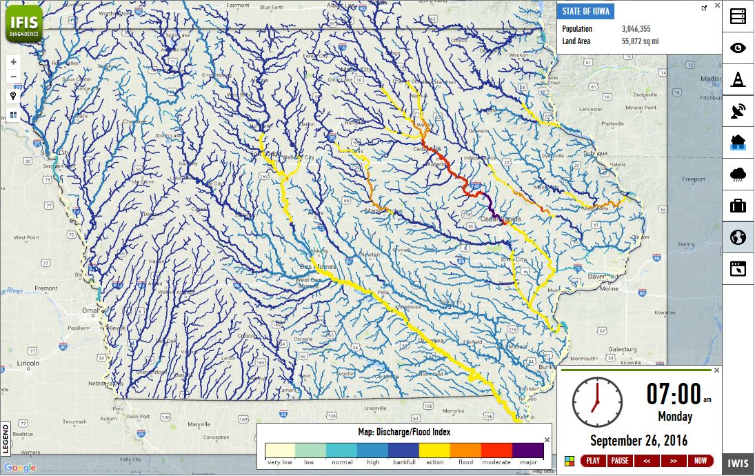
At the core of IFC’s real-time flood forecasting system is the Hillslope Link Model (HLM). The HLM framework describes runoff processes at hillslopes and channel links, estimating flows at more than 420,000 channels in the river network. The model ingests rainfall, evapotranspiration, and runoff information and issues forecasts at 2,000 points on Iowa’s river network, including 1,000 Iowa communities and other points of interest. The IFC forecasting system is driven by radar-based rainfall data produced in near real-time. Statewide rainfall intensity and accumulation maps are updated every five minutes, processing data from seven Next Generation Weather Radars (NEXRAD) covering Iowa. Information flows through the IFC Central Database, IFC Forecasting Model, and IFC Rainfall System before ultimately being visually displayed on the Iowa Flood Information System.
Iowa Flood Information System
IFIS visualizes flood alerts and forecasts to help communities and individuals be better prepared during flood events

"We'd be lost without the Iowa Flood Center. Thanks to their work, we're not in it alone. We know what's coming."
