About MRFIS
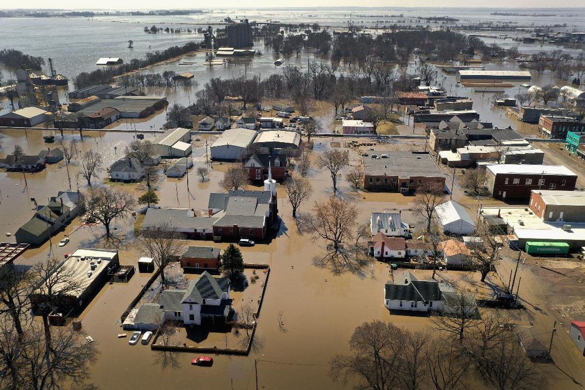
Devastating flooding on the Missouri River in 2011 and 2019 has had severe and lasting impacts on western Iowa communities. The increasing frequency of major Missouri River floods and their associated damages highlights a need for a Missouri River hydraulic model capable of estimating flood impacts based upon historical, forecasted, and hypothetical flow scenarios to allow agencies, communities, and individuals to make informed decisions to reduce future flood threats and improve management of the Missouri River floodplain.
With funding from the U.S. Department of Commerce Economic Development Administration, the Iowa Flood Center participated in the Comprehensive Assessment and Resiliency Plan for Mills and Fremont Counties to create the Missouri River Flood Information System (MRFIS). The system builds upon the award-winning Iowa Flood Information System (IFIS) that provides real-time flood alerts and forecasts, river levels, weather conditions, and more for the entire state of Iowa. MRFIS provides comprehensive information on floods, streamflow and mitigation scenarios, and levee systems that can be easily modified to represent breaches.