Serving Iowans

The Iowa Flood Center (IFC) puts science-based information and technology in the hands of Iowa’s decision-makers, emergency responders, community leaders, home and business owners, educators, and the public. IFC researchers, staff, and students strive to develop the most innovative tools and reliable information to improve Iowa’s flood preparedness and resiliency. 
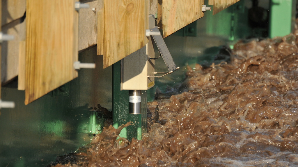
stream sensor in action

Flood Monitoring

Nearly 300 stream-stage sensors designed, built, and deployed by IFC measure river levels every 15 minutes, improving flood monitoring and forecasting. Hydrologic weather stations improve flood- and drought- prediction capabilities.
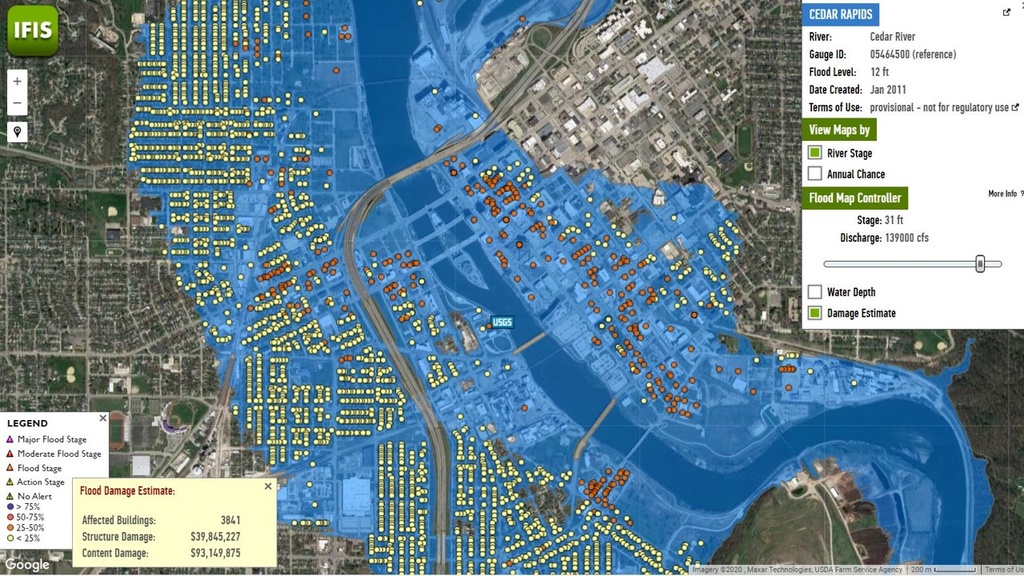
flood inundation maps for Cedar Rapids, Iowa

Flood Mapping

High-resolution statewide flood maps for every Iowa stream, along with scenario-based flood inundation maps, keep individuals and communities safe and informed—protecting lives, property, and critical infrastructure. 
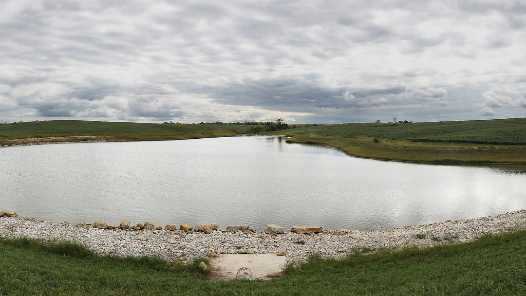
farm pond

Flood Mitigation

IFC staff and researchers provide leadership and technical expertise that supports collaborations with local, state, and federal partners to develop and implement watershed-based strategies to mitigate flood damage and increase resilience. 

An outreach event at the LACMRERS facility, as students look at a watershed model located outside by the river

Education and Outreach

The IFC participates in dozens of outreach activities each year and is dedicated to ensuring its resources are easily accessible and tailored for diverse audiences. IFC support for undergrad and grad students is developing Iowa’s future workforce. 

Iowa Flood Information System

IFIS is a free, Google Maps-based web platform that communicates real-time information about stream levels, flood alerts and forecasts, and hydrologic conditions for the entire state of Iowa.

Research Spotlight

Satellite map view of the storm that stalled over the Texas Hill Country and dumped catastrophic rainfall

One Year After the Texas Hill Country Flood: A Case Study

Wednesday, July 8, 2026
On July 4, 2025, the Guadalupe River basin received 5 to 11 inches of rain in just a few hours. The river rose 37 feet in 45 minutes, sweeping away homes, cars, businesses, and cabins, leaving behind a ravaged landscape and taking 139 lives. Iowa Flood Center researchers are taking on the challenge of providing accurate, timely flash flood forecasts that can save lives.

News Spotlight

Flood water covers a road with gray skies overhead and green leafy trees on either side.

In a Small Iowa Town, a Solution to a National Crisis

Friday, May 1, 2026
As a new flood season approaches, many Americans remain haunted by the last. But Iowans are fortunate — we have access to the incredible tools developed and maintained by engineers at the state-funded Iowa Flood Center.
Sam Hermite

“Iowa really knows … They’ve modeled and mapped the state, they have great data and visualization tools, and they have really effective outreach and communication. To really have a complete flood approach, you have to do all of those things.”

Assistant Deputy Executive Administrator of Water Science and Conservation for the Texas Water Development Board

News & Features

Satellite map view of the storm that stalled over the Texas Hill Country and dumped catastrophic rainfall

One Year After the Texas Hill Country Flood: A Case Study

Wednesday, July 8, 2026
On July 4, 2025, the Guadalupe River basin received 5 to 11 inches of rain in just a few hours. The river rose 37 feet in 45 minutes, sweeping away homes, cars, businesses, and cabins, leaving behind a ravaged landscape and taking 139 lives. Iowa Flood Center researchers are taking on the challenge of providing accurate, timely flash flood forecasts that can save lives.
An IFC stream sensor in a small gray box with a solar panel is attached to the side of a bridge. Leafy trees in autumn colors make up the background

Budget cuts force an Iowa county to abandon ‘gold standard’ flood warning system

Monday, June 15, 2026
Because of budget cuts, Winneshiek County in northeast Iowa replaced a USGS river gauge with an Iowa Flood Center stream sensor. The sensor measures water levels in real time, giving Snyder the early warning he needs before a flood hits.

Events

There are currently no events to display.

View more events