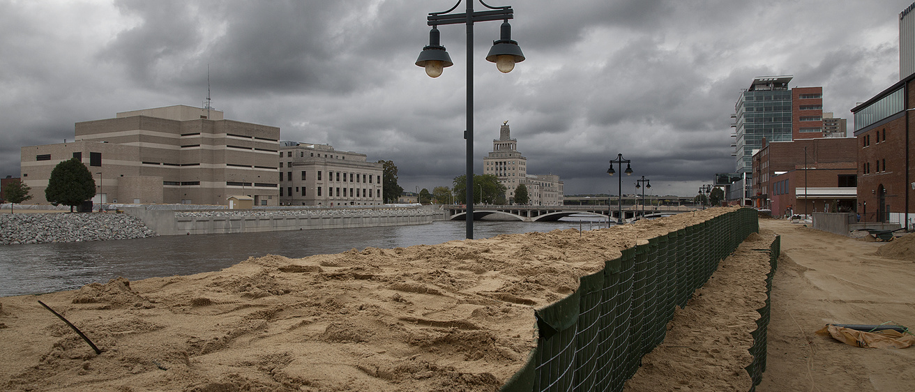
Spring Flood Outlook
The National Weather Service currently predicts a low-to-normal flood risk this spring, with a few factors to watch for. This winter, Iowa has experienced a snow drought, leaving soils dry and compacted heading into spring, with shallower frost depth than usual. While the outlook is projecting low-to-normal risk, it's always important to monitor spring precipitation levels to ensure accurate flood risk estimation as the season shifts toward thaw, increased precipitation, and warmer temperatures. New research shows that Iowa has become a hotspot for flash flooding, and it’s critical for communities, decision-makers, and the public to know their flood risks to reduce impacts.
Iowa Flood Center's Flood Safety Tool
The Iowa Flood Center (IFC) developed the Iowa Flood Information System (IFIS) online tool to help Iowans prepare for flooding. It can be accessed by citizens, community leaders, and emergency responders to assist in reducing flood risks, maintaining flood-safe communities, and mitigating flood damage across the state.
The information provided by IFIS supports decision-making and preparedness efforts to minimize flood damage and protect people, infrastructure, and the environment. Visit IFIS for access to:
Up-to-the-minute stream data collected by more than 270 IFC-designed, -built, and -deployed stream sensors that share real-time data on IFIS. This statewide network complements U.S. Geological Survey stream gages by filling in data gaps on smaller streams to improve flood monitoring and forecasting;
Flood alerts and forecasts for more than 1,000 Iowa communities, helping Iowans better plan and prepare in advance of a flood;
Interactive flood maps that show the extent of possible flooding for every Iowa stream in all 99 counties;
Detailed, high-resolution flood inundation maps for dozens of Iowa cities and towns (with more added every year!) that show how predicted flood extent and depth could affect property and critical infrastructure; and
A network of 53 hydrologic weather stations, with more on the way, that collect data on rainfall, soil moisture and temperature conditions, shallow groundwater levels, and other weather data. IFC plans to add 20 new hydrostations to its network in southwest Iowa to improve flood and drought monitoring and forecasting.
The Iowa Flood Center also provides free technical assistance to small Iowa communities to help them understand local flood challenges and identify solutions, while supporting grant funding opportunities for project implementation.
Coming Soon: A New and Improved IFIS
The Iowa Flood Information System (IFIS) is undergoing an upgrade, with the updated version set for release in the coming months. The new design emphasizes a faster, more user-friendly experience, while continuing to deliver the reliable information Iowans depend on for flood safety. Better information supports better decisions, helping communities, farmers, emergency managers, and residents prepare for changing conditions.
In addition, there will be several enhanced capabilities and features, including:
Expanded river and stream forecasts informed by new modeling tools from NOAA’s National Water Center models, which show current and future river conditions across the state;
Real-time weather alerts from the National Weather Service, including watches, warnings, and advisories;
Snow and winter conditions, like measurements of snow depth, melting, and snow-water equivalent; and
Soil moisture and drought information, allowing users to track ground conditions from dry to saturation.
About
The IFC is part of IIHR—Hydroscience and Engineering at the University of Iowa College of Engineering. It was established by the state of Iowa in 2009 following the devastating 2008 floods to help improve Iowa’s flood resiliency. It is the first and only academic center in the nation focused solely on flood-related research and education.