
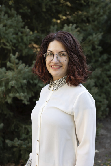
Mountains dominate the landscape of Yagmur Derin’s native country, Turkey. Heavy precipitation and flash flooding are common in the northern part of the country, where there are few rain gauges or radars to collect precipitation data.
In Turkey and around the world, rainfall causes floods and landslides that destroy property and take lives. And rainfall is the main driver of the hydrologic models used by scientists and weather forecasters.
Yet, rainfall remains difficult to measure and model accurately, Derin says, especially in remote, ungauged areas like the mountains of Turkey.
How, then, do we provide accurate, timely flood warnings for areas with limited rainfall observations?
Rainfall Information
“We have to rely on satellites if we want to provide flood warnings,” Derin says.
She is an assistant professor of civil and environmental engineering at the University of Iowa and an Iowa Flood Center researcher. Derin specializes in hydrometeorology, satellite- and radar-based precipitation remote sensing, and modeling of extreme rainfall.
Satellite data are essential for hydrologic modeling and flood prediction, Derin says, especially in areas where ground observations of precipitation are limited or simply don’t exist.
However, satellite data have considerable uncertainty. How much confidence can we have in rainfall estimates provided by a satellite-based precipitation product?
Quantifying the Uncertainty
It’s a deceptively simple question, Derin says.
She is currently working on a $556,000 NASA grant, NASA PMM+CloudSat/CALIPSO, that aims to develop a comprehensive, physics-informed framework to quantify the uncertainties in satellite-based precipitation data by generating an ensemble, or a range of possible outcomes.
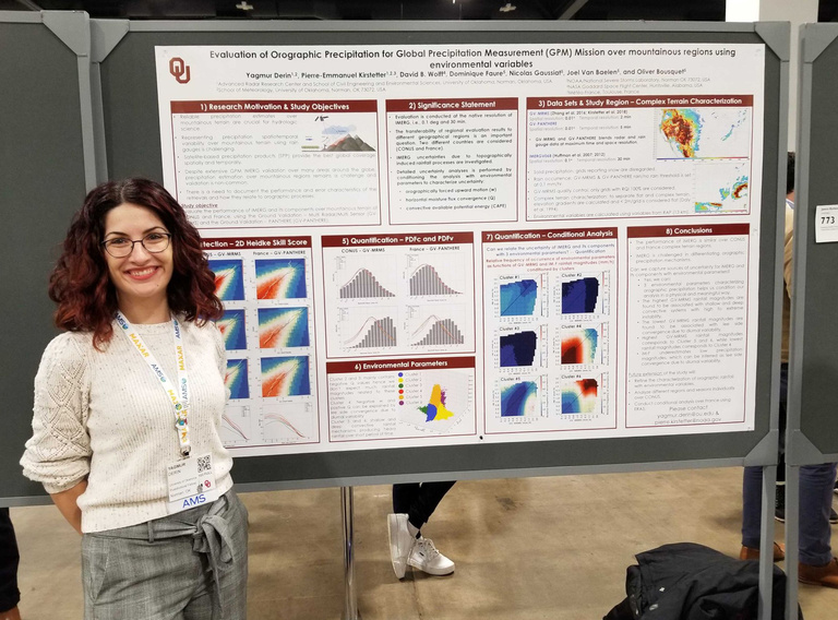
In Derin’s work, the ensemble generates multiple plausible versions of the rainfall field that could be consistent with the satellite observations and their uncertainty.
She calls this “uncertainty-aware precipitation information.” It’s not one answer, but a realistic range of possible rainfall totals.
This framework incorporates information such as moisture, instability, and terrain to better understand why satellite uncertainty changes from one region or type of storm to another. Derin explains that the key is turning pixel-scale uncertainty information into realistic precipitation fields.
“Each field represents one plausible version of the potential rainfall field,” she says. “Together, all of these fields communicate the possible outcomes in a way that can help modelers and decision-makers understand not only what have happened, but also how uncertain the estimate is.”
Building a Bridge

Derin’s work has spanned several disciplines. As a postdoc at the University of Oklahoma, she focused on precipitation science. Later, as a research scientist at the University of Wisconsin-Madison, she advanced work on satellite precipitation uncertainty, stochastic ensemble methods that take the inherent uncertainty of rainfall into account, and the hydrologic consequences of uncertain rainfall estimates.
Now at the University of Iowa, Derin is happy to serve as a bridge between precipitation physics, satellite and radar remote sensing, advanced statistical modeling, and hydrological applications.
At first, studying precipitation science took Derin out of her comfort zone — but then she discovered that was exactly where she wanted to be. “It made me uncomfortable, but that’s where we thrive, I think,” she says.
Derin’s ultimate goal is to improve prediction of natural hazards in regions where ground observations are limited, while being honest about what satellite data can and cannot tell us.
Floods Know No Boundaries
Derin is committed to making reliable flood prediction information available to people, no matter where they live.
“We need to use whatever data we have,” she says. “We cannot just throw up our hands and say hey, it’s not working. But we also need to be honest about what these data can and cannot tell us.”
By improving our understanding and representation of precipitation uncertainty, her research helps hydrologic models provide more realistic information about floods, landslides, and other water-related hazards.
Derin’s work will continue to make important contributions to the work of IIHR and IFC, ensuring that their research remains relevant and evolves to meet the needs of communities worldwide.