The Iowa Flood Information System (IFIS) is a one-stop web platform to access community-based flood alerts and forecasts, flood maps, weather conditions, and other flood-related information and visualizations.
New! IFIS 2.0
The IFC has developed a new, modernized version of the Iowa Flood Information System (IFIS) to help ensure Iowans have access to accurate and reliable data to support flood planning and decision-making. The redesign emphasizes a faster, more user-friendly experience, while continuing to deliver the same dependable information Iowans rely on for flood safety. Enhanced information supports flood response and preparedness, helping communities, farmers, emergency managers, agencies, and the public prepare for changing conditions.
IFIS Key Resources
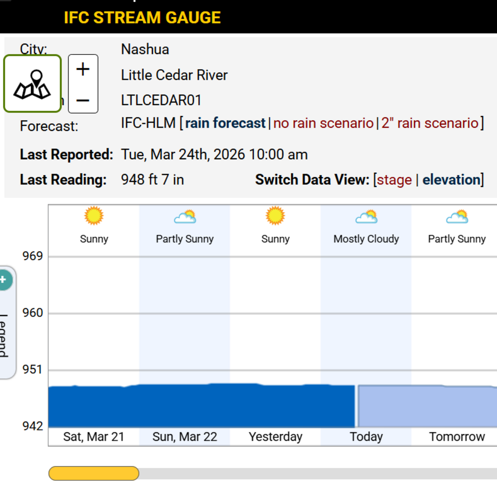
Stream Sensor Network
River levels updated every 15 minutes

Flood Alerts
Flood alerts and forecasts enhance flood preparedness

Flood Inundation Maps
High-resolution flood inundation maps for every Iowa stream, and detailed community-based maps show forecasted flood extent and depth
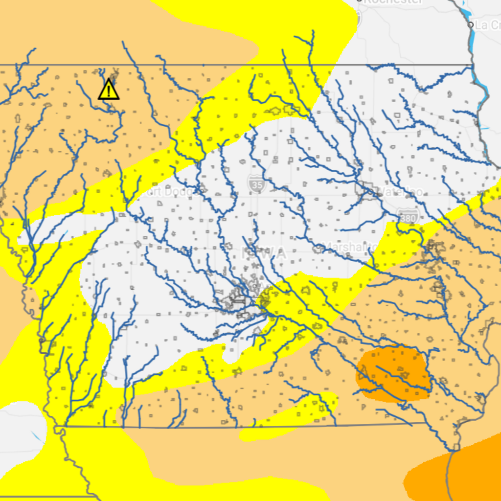
Soil and Drought Conditions
Soil moisture and temperature visualizations, as well as drought monitoring conditions

Data Resources
The Hydroshare platform provides a repository of hydrostation and stream sensor data from across the state.
Find data on wind speed & direction, rainfall, river levels, soil moisture & temperature, and more.
Flood Alerts
Sign up now to receive IFIS email alerts to be notified about flooding in your community.
About IFIS
In 2011, the Iowa Flood Center launched the first version of the Iowa Flood Information System (IFIS) to help Iowans be better prepared for floods. This online tool puts critical information in the hands of emergency responders, decision-makers, community leaders, home- and business-owners, and landowners.
A dense hydrologic monitoring network of nearly 300 stream-stage sensors designed, built, and deployed by IFC researchers updates river-level information on IFIS in real-time. The IFC stream sensor network complements about 150 U.S. Geological Survey (USGS) gages by filling in data gaps to improve flood monitoring and forecasting. IFIS also collects hydrologic data on precipitation, soil moisture and temperature, and groundwater levels in shallow wells from a growing statewide network of hydrologic weather stations. IFIS harvests hydrological and meteorological data provided by the USGS, National Weather Service, U.S. Army Corps of Engineers, and other groups, making Iowa home to one of the densest flood-risk data networks in the country.
IFIS’s cutting-edge design and technical capabilities are built on a user-friendly Google Maps–based web platform that is freely accessible to anyone, providing real-time flood information with just a few clicks. The system has been accessed by millions of users seeking reliable flood information to support planning and decision-making before, during, and after a flood event occurs.
A new version of IFIS was released in 2026 to provide end-users with a faster, more modern, and accessible design.

Frequently Asked Questions
How to access IFIS, locate information for your community, request a stream sensor, and more.
Questions about IFIS? Contact Us
If you have any questions about IFIS or would like to share feedback, please don’t hesitate to contact our team.