Stream Sensors
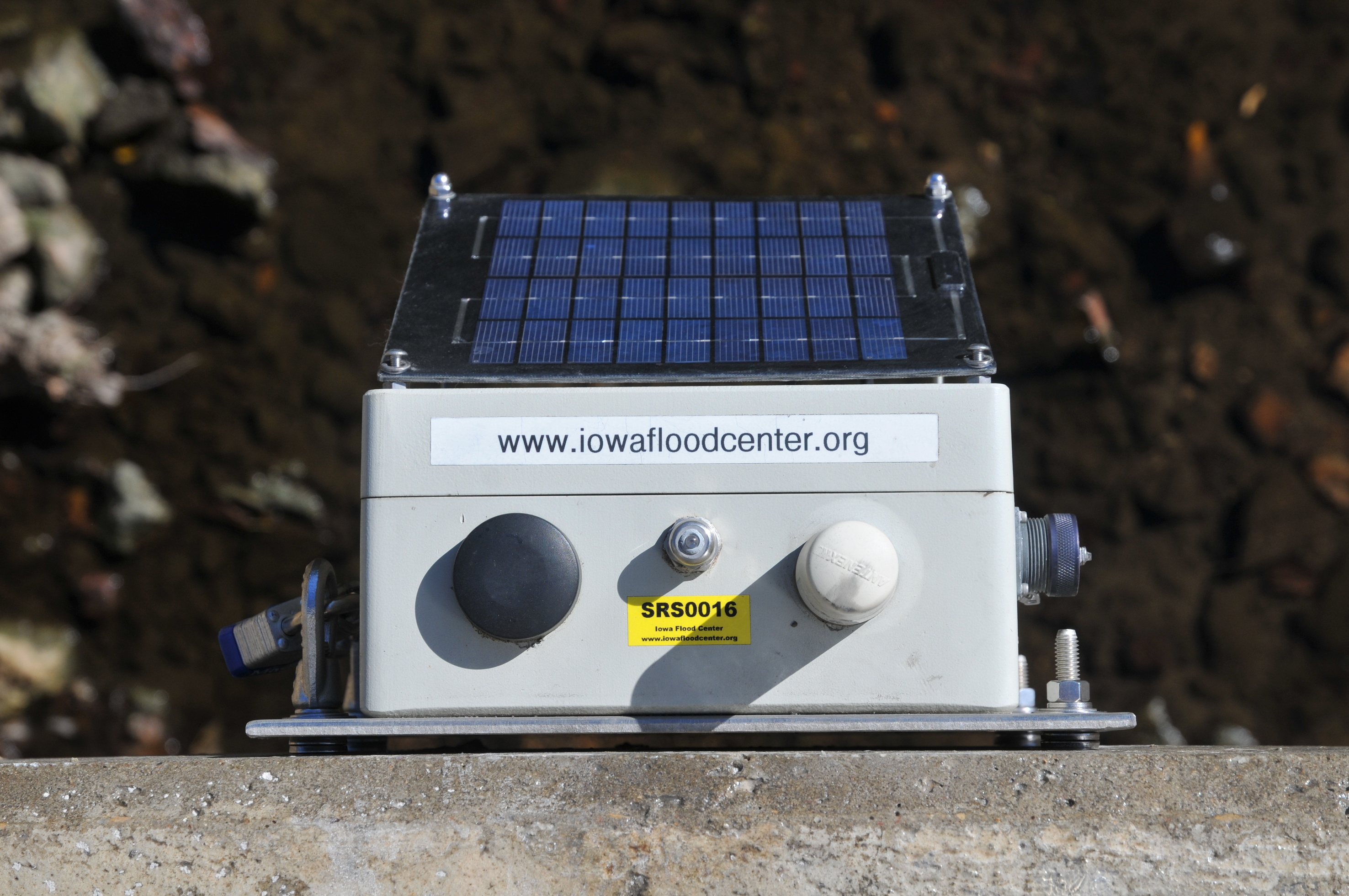
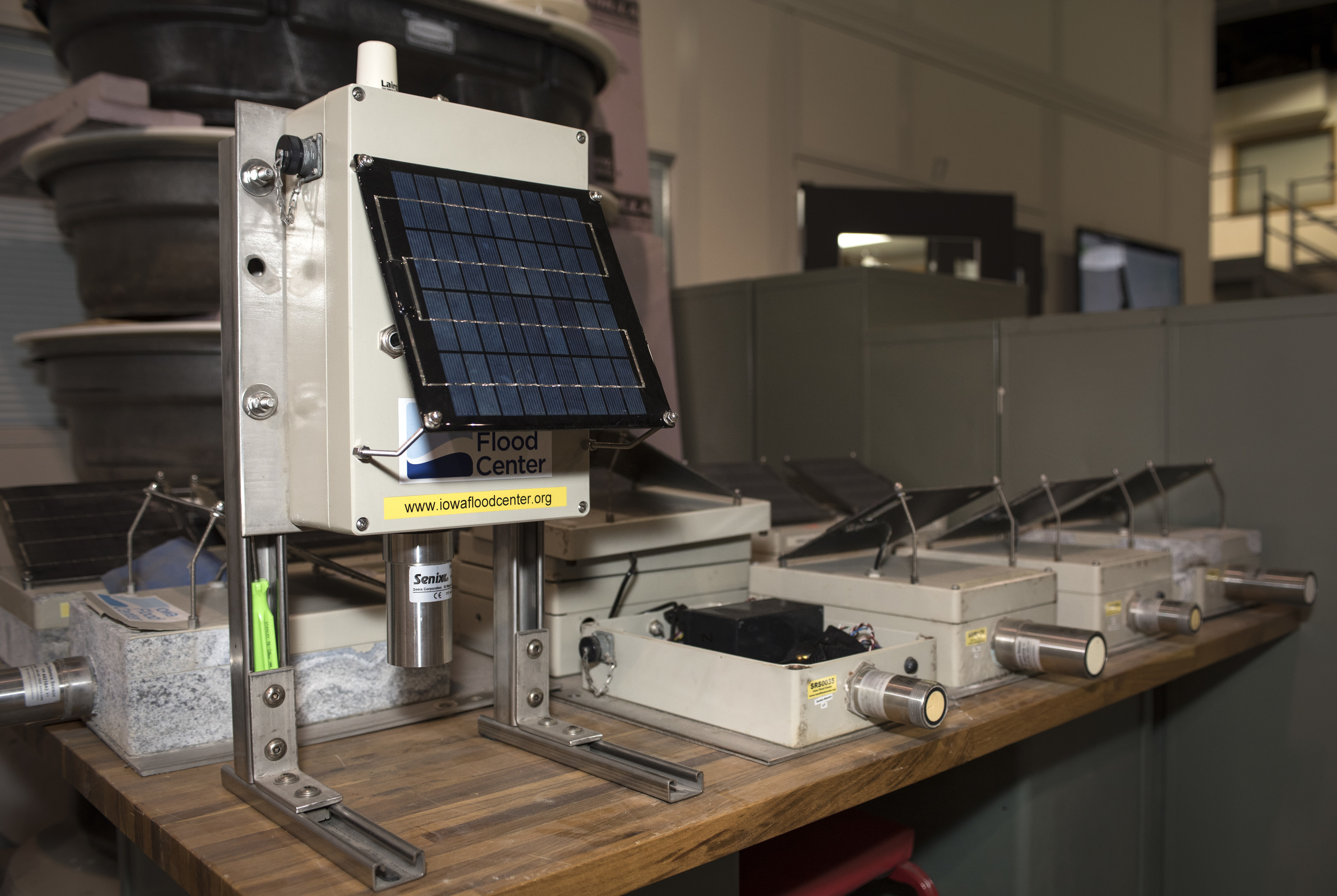
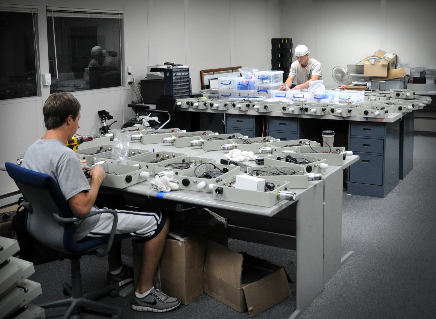
The Iowa Flood Center has designed, built, and deployed a real-time network of nearly 300 stream sensors to improve flood monitoring and forecasting. The stream sensors use ultrasonic technology to measure river levels and cell modem-based communication to transmit data automatically every 15 minutes to the Iowa Flood Information System (IFIS). The network complements about 150 U.S. Geological Survey stream gages by filling in data along small streams and tributaries.
The Iowa Department of Natural Resources, Iowa Department of Transportation, Iowa Homeland Security and Emergency Management, Iowa Silver Jackets, and local communities help to support the stream sensor network. The stream sensor data are shared with state and federal agencies to assist their operations. The sensors are robust, economical, and provide individuals and communities with reliable flood information to assist with planning and decision-making.
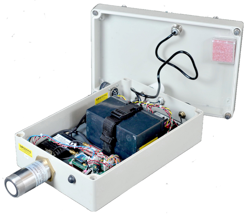
Stream Sensor Description
This publication describes the technical components of IFC’s stream sensor network and operations.

“When you’re responsible for the safety of your neighbors, every decision weighs heavily. This is exactly the kind of partnership every community hopes for during an emergency.”
Hydrologic Monitoring Network
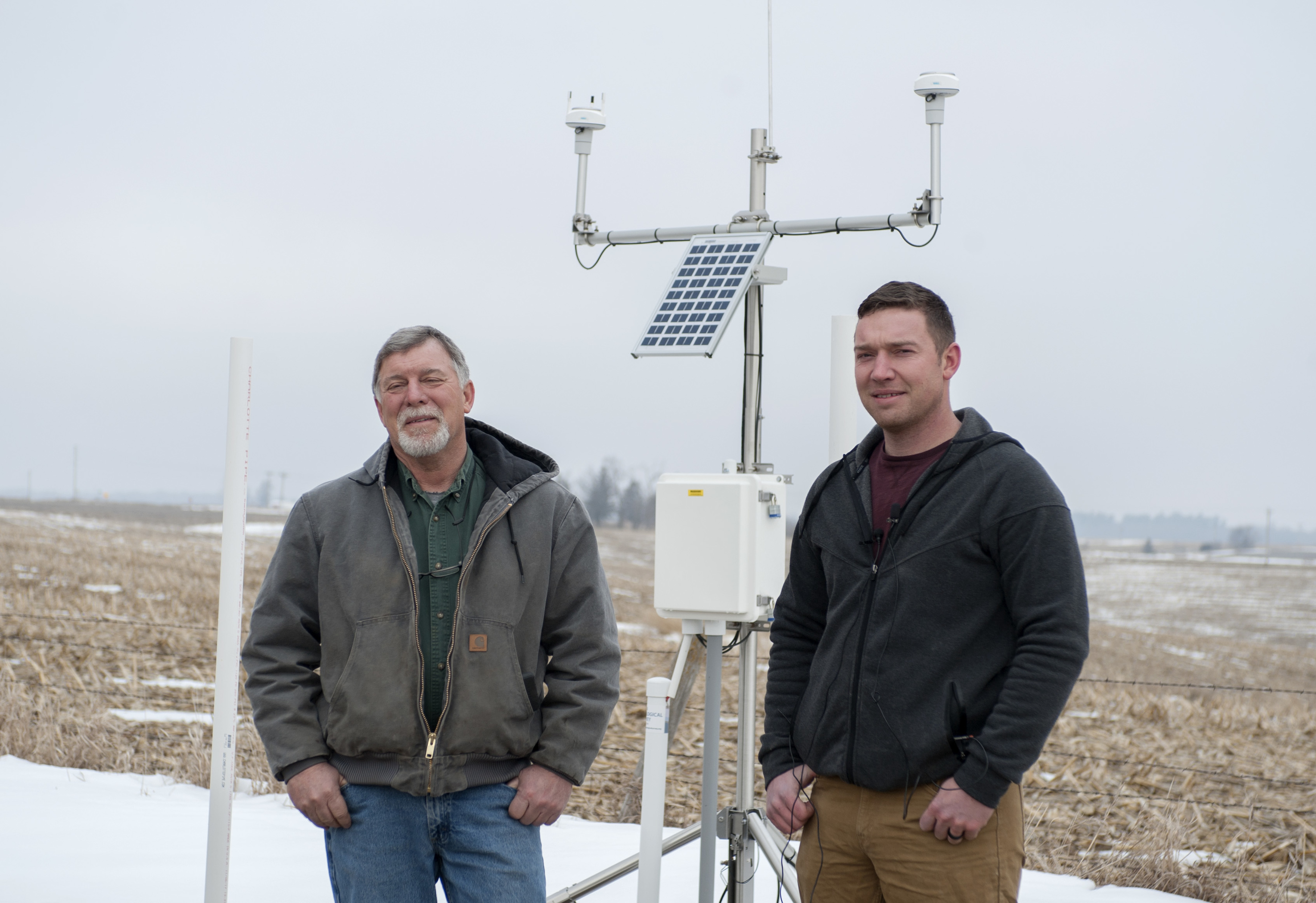
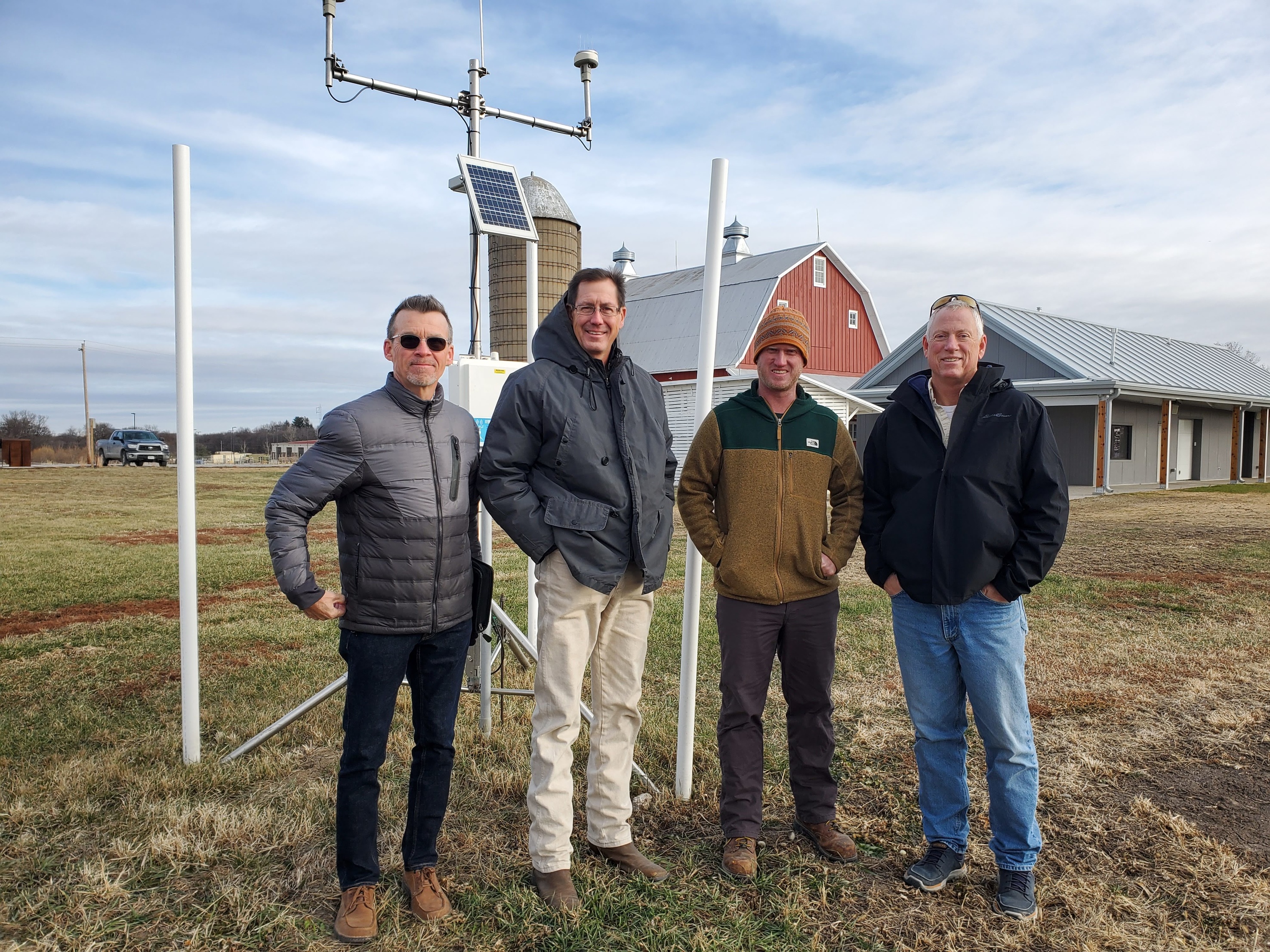
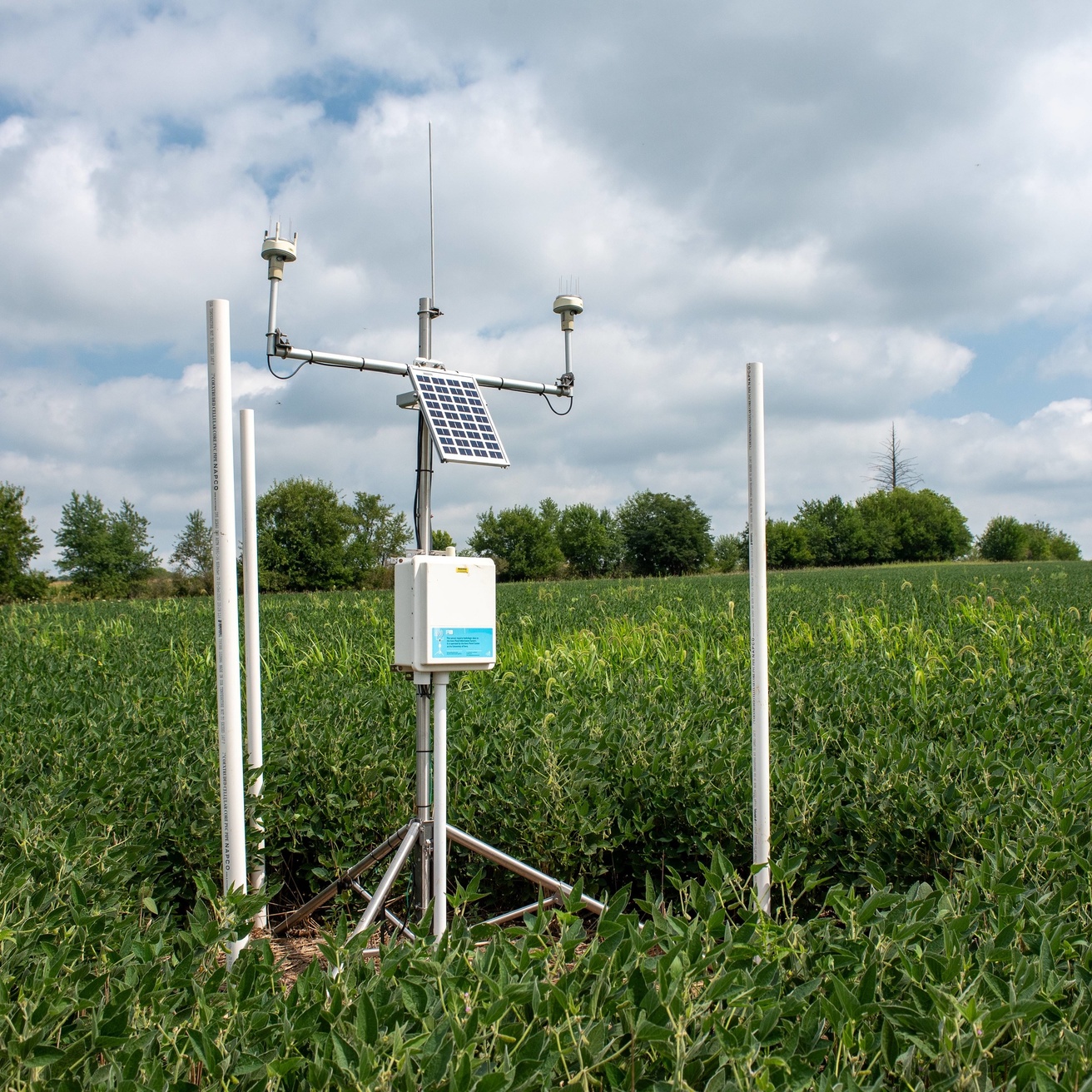
To improve flood- and drought-monitoring and forecasting, the Iowa Flood Center has developed a growing network of hydrologic weather stations deployed across the state. The hydrostations measure rainfall, soil moisture and soil temperature, windspeed and direction, and groundwater levels in shallow wells. IFC is working toward a goal of deploying one station in every Iowa county to better predict floods, assess droughts, and manage the state’s water resources. Data are collected in real time and visually displayed on IFIS.
For Iowans