
Serving Iowans
The Iowa Flood Center (IFC) puts science-based information and technology in the hands of Iowa’s decision-makers, emergency responders, community leaders, home and business owners, educators, and the public. IFC researchers, staff, and students strive to develop the most innovative tools and reliable information to improve Iowa’s flood preparedness and resiliency.
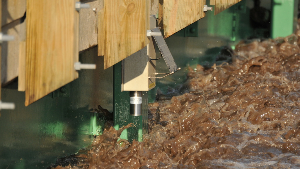
Flood Monitoring
Nearly 300 stream-stage sensors designed, built, and deployed by IFC measure river levels every 15 minutes, improving flood monitoring and forecasting. Hydrologic weather stations improve flood- and drought- prediction capabilities.
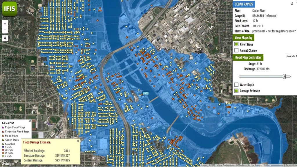
Flood Mapping
High-resolution statewide flood maps for every Iowa stream, along with scenario-based flood inundation maps, keep individuals and communities safe and informed—protecting lives, property, and critical infrastructure.
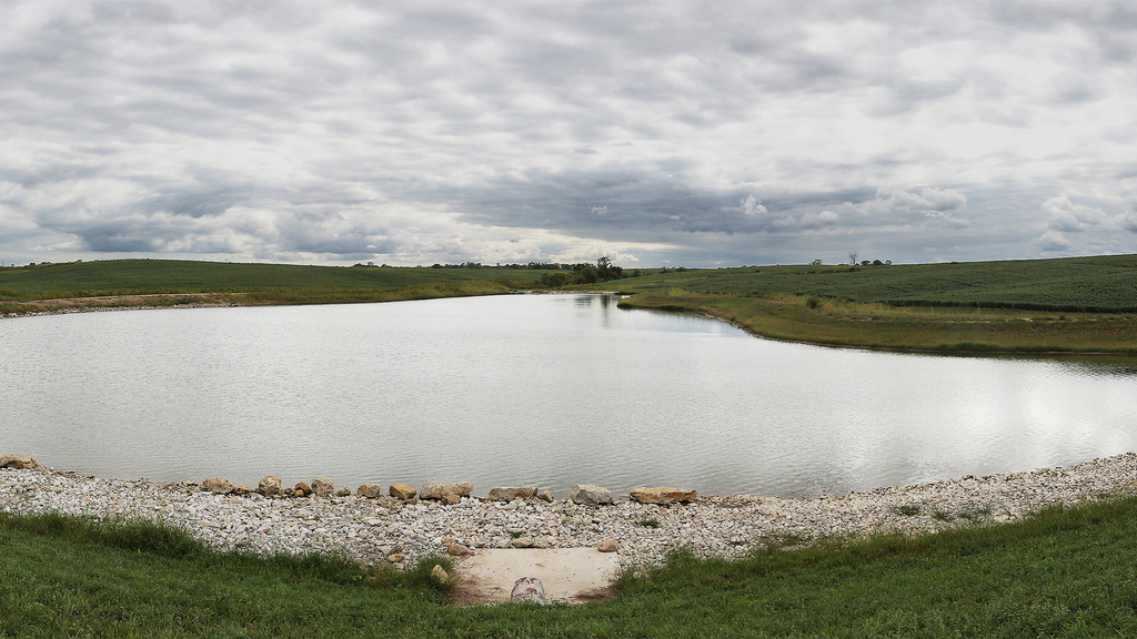
Flood Mitigation
IFC staff and researchers provide leadership and technical expertise that supports collaborations with local, state, and federal partners to develop and implement watershed-based strategies to mitigate flood damage and increase resilience.

Education and Outreach
The IFC participates in dozens of outreach activities each year and is dedicated to ensuring its resources are easily accessible and tailored for diverse audiences. IFC support for undergrad and grad students is developing Iowa’s future workforce.
Iowa Flood Information System
IFIS is a free, Google Maps-based web platform that communicates real-time information about stream levels, flood alerts and forecasts, and hydrologic conditions for the entire state of Iowa.
Research Spotlight
News Spotlight


“Iowa really knows … They’ve modeled and mapped the state, they have great data and visualization tools, and they have really effective outreach and communication. To really have a complete flood approach, you have to do all of those things.”
News & Features

Iowa hydrostations measure statewide soil moisture, help scientists

One Year After the Texas Hill Country Flood: A Case Study
Events

Johnson County Historic Poor Farm Open House
Join us for the Johnson County Historic Poor Farm Open House!
Throughout the event, attendees can enjoy kids activities, food vendors, tabling and resource-sharing from partner organizations, and cover crop and farm equipment exploration.
Attendees are encouraged to check out the Global Food Project farmers market, which will take place on the east side of the Dairy Barn from 3 - 5:30pm. The farmers market accepts cash, debit and credit cards, SNAP, Double Up Food Bucks, WIC, and Senior Vouchers...

Experiential Education: Educator Summit
Back for a second year, this full-day workshop aimed at formal and informal educators features six interactive, interdisciplinary, inspiring, and fun workshop sessions. The event will also feature networking opportunities and the chance to learn from peers. Whether you are a classroom teacher, a museum educator, or an aspiring educator, there is something here for you. Each session will include hands-on learning activities and several will include outdoor learning elements, hiking, and even some...

Be Ready QC: Emergency Resource Fair
Join us for the Be Ready QC: Emergency Resource Fair!
The Emergency Resource Fair is a free, family-friendly event focused on emergency and disaster preparedness and safety. Attendees can expect kids activities, hands-only CPR training, a virtual reality simulator, information of preparedness resources, giveaways, and more!
We hope to see you there!