News

Weber receives American Water Resources Association award
Wednesday, November 3, 2021
University of Iowa Professor of Civil and Environmental Engineering and Iowa Flood Center (IFC) co-founder Larry Weber has won the prestigious Integrated Water Resources Management Award, presented by the American Water Resources Association.
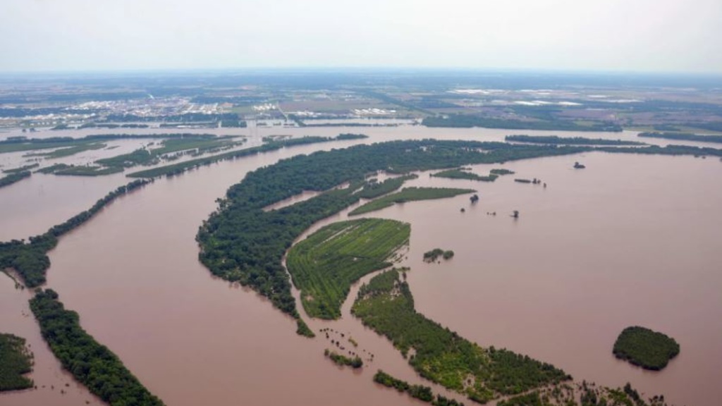
Towns hit by flooding get help from nonprofit creating wetlands along Mississippi River
Wednesday, October 27, 2021
From the Great Flood of 1993 to floods in the spring of 2019, communities in lowland areas adjacent to Midwest rivers and streams have borne the brunt of major weather events.
University of Iowa seeks big increases for Hygienic Lab, Iowa Flood Center
Thursday, September 16, 2021
Iowa’s Board of Regents on Thursday unanimously approved, without discussion, a request for $20.3 million more in state funding for the next budget year, including the first increase in five years for University of Iowa special purpose units like the State Hygienic Lab and Iowa Flood Center.
Northeast Iowa reels from flood damage and Afghanistan vet recounts the battle of Do Ab
Friday, September 3, 2021
On this episode of River to River, Iowa Public Radio’s Katie Peikes reports on the flooding of the Turkey and Wapsipinicon Rivers, a resident of Elkader details the damage and a flood expert explains how this event happened during a drought.
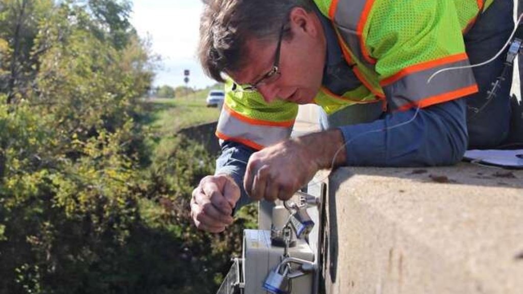
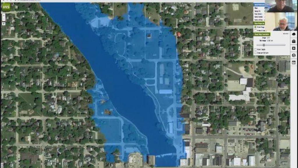
Check out this interactive online flood tool from the Iowa Flood Center
Wednesday, September 1, 2021
The Iowa Flood Center has an interactive tool for the public to use to keep an eye on rivers statewide.
University of Iowa Flood Center offers tool to monitor flooding
Tuesday, August 31, 2021
Recent storms in northern Iowa have led to threats of flooding, and the University of Iowa has a new tool that can update river levels in minutes.

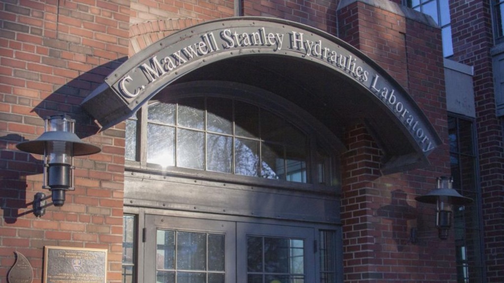
Photos: University of Iowa President Barb Wilson speaks with reporters during first week
Thursday, July 22, 2021
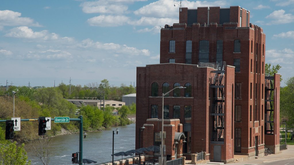
University of Iowa President Barb Wilson spoke to reporters during a media availability at the C. Maxwell Stanley Hydraulics Laboratory in Iowa City, Iowa.
Iowa Flood Center: ‘New Normal’ could bring soggy spring
Tuesday, May 25, 2021
Much of Iowa has been stuck in a wet stretch of weather lately. There may be a reason for all the rain. It's part of the "new normal," according to scientists.
The wetter “new normal” affecting Iowans
Monday, May 17, 2021
This month NOAA released the “New Normal” when it comes to weather and climate. Climate patterns continue to change in the Upper Midwest, including Iowa. The region is seeing an increase in precipitation throughout the year.